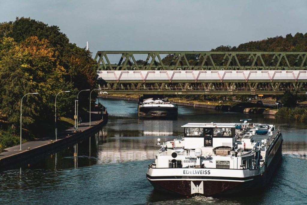
A canal opening in China is usually presented as an infrastructure story. Pinglu Canal is more surprising because it changes the map before it changes the water. On 15 September 2026, a 134.2 km waterway will connect Nanning, the capital of Guangxi Zhuang autonomous region, with the Beibu Gulf between China and Vietnam. The unexpected point is not simply that a new route exists. It is that south-west China is gaining a direct maritime escape after decades of dependence on routes toward the east coast.
The thesis is simple: Pinglu Canal turns the New International Land-Sea Trade Corridor from a logistics concept into a lower-cost physical option for inland cargo moving toward Southeast Asia.
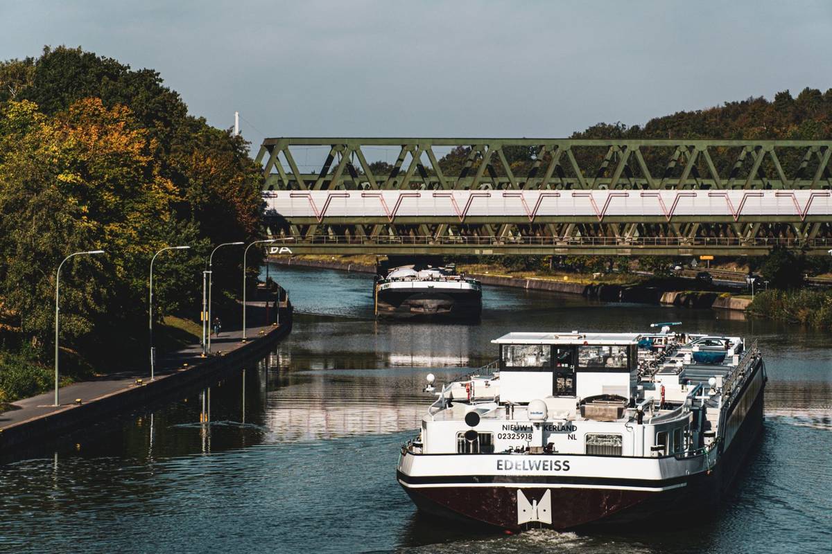
The project carries a formidable price tag, $10.8bn, and is designed for vessels up to 5,000 tonnes. It is also the first canal China has planned at national level since the founding of the People’s Republic in 1949. Calling it a project of the century creates a large burden of proof. The useful test is not the slogan. It is whether shippers can move predictable volumes with less cost, less handling and fewer geographic constraints.
For planners, the immediate comparison is concrete. A 40ft container trucked from Nanning to Qinzhou port costs about $387 today. A barge or feeder movement along the canal could halve that figure, bringing the transport cost to about $193.50 and implying a possible saving of about $193.50 per container. That is not a promise of a universal tariff. It is a benchmark for the commercial question the canal must answer: will the waterway convert its huge capital cost into a repeatable advantage at shipment level?
The opening also arrives at a strategically useful moment. Southeast Asia is now China’s largest trading partner, with $766bn in two-way trade during the first seven months of 2026. At the same time, the canal is part of the New International Land-Sea Trade Corridor, designed to pull cargo from inland provinces such as Chongqing and Sichuan toward Beibu Gulf ports rather than toward Shenzhen or Shanghai. The route is therefore not an isolated shortcut from Nanning. It is a piece of a wider attempt to align inland production with southern maritime access.

That alignment matters because geography has always imposed a penalty on south-west China. Inland provinces could produce, consolidate and export, but the shortest commercial logic often pointed east. Cargo had to be organized around established coastal gateways, even when the final market or sourcing relationship was closer to Southeast Asia. Pinglu Canal does not erase distance. It changes the direction in which distance is operationalized, linking Nanning to the Beibu Gulf and its maritime opening between China and Vietnam.
There is a human scale to this shift. Consider a mid-sized exporter in Nanning planning one 40ft container. The old benchmark is $387 to Qinzhou. If a canal barge or feeder really halves that cost, the movement becomes about $193.50, leaving about $193.50 before any other charges, timing effects or service differences. For one container, that is not a revolution. For a shipper deciding whether a southern lane can support regular export planning, it is a visible number that can change the conversation with a forwarder. The exporter is no longer asking only which coastal gateway is familiar. The question becomes which corridor is structurally better for the cargo.
That is why the engineering details deserve attention. China’s Maritime Safety Administration has published a nautical chart of the canal approaches. On the seaward stretch, 127 navigation marks have been installed. The coastal run from Qinjiang Bridge to Qinzhou Port covers 22 km. These details do not guarantee smooth operations, but they show that the opening is being treated as a navigational system, not merely a line drawn across a policy map. For carriers, forwarders and shippers, the practical test will be channel access, reliable sailing windows and the ability to integrate the waterway into existing port plans.
The launch is timed to coincide with the 23rd China-Asean Expo in Nanning, held from 17 to 21 September. That timing gives the canal an immediate commercial audience, but it should not confuse visibility with utilization. A ceremony can establish a route. Only repeated cargo flows can establish a corridor. The early questions should be operational: how quickly can vessels up to 5,000 tonnes move through the system, how consistently can cargo connect onward from Qinzhou Port, and does the potential $193.50 saving survive real service conditions?
The long-term story is therefore a reversal of confinement. South-west China was not disconnected from world trade, but its geography made the east coast the default answer. Pinglu Canal offers a southern answer, connecting Nanning to Beibu Gulf access and supporting a land-sea network that reaches back toward Chongqing and Sichuan. If volumes follow, the canal could make the old eastward assumption less automatic. If they do not, it will remain an expensive symbol with impressive dimensions.
Shippers and freight forwarders should respond before the hype settles. Map current Nanning, Chongqing and Sichuan flows against the Beibu Gulf option, calculate the $387 road benchmark against canal-linked alternatives, and identify cargo that can tolerate a new routing pattern. Ask for sailing frequency, port handoff details and service reliability rather than accepting headline capacity. Pinglu Canal opens on 15 September 2026. The decision is not whether the canal is historic. It is whether your cargo plan is ready to test what history has made possible.